Cargo Port
Contents
Overview
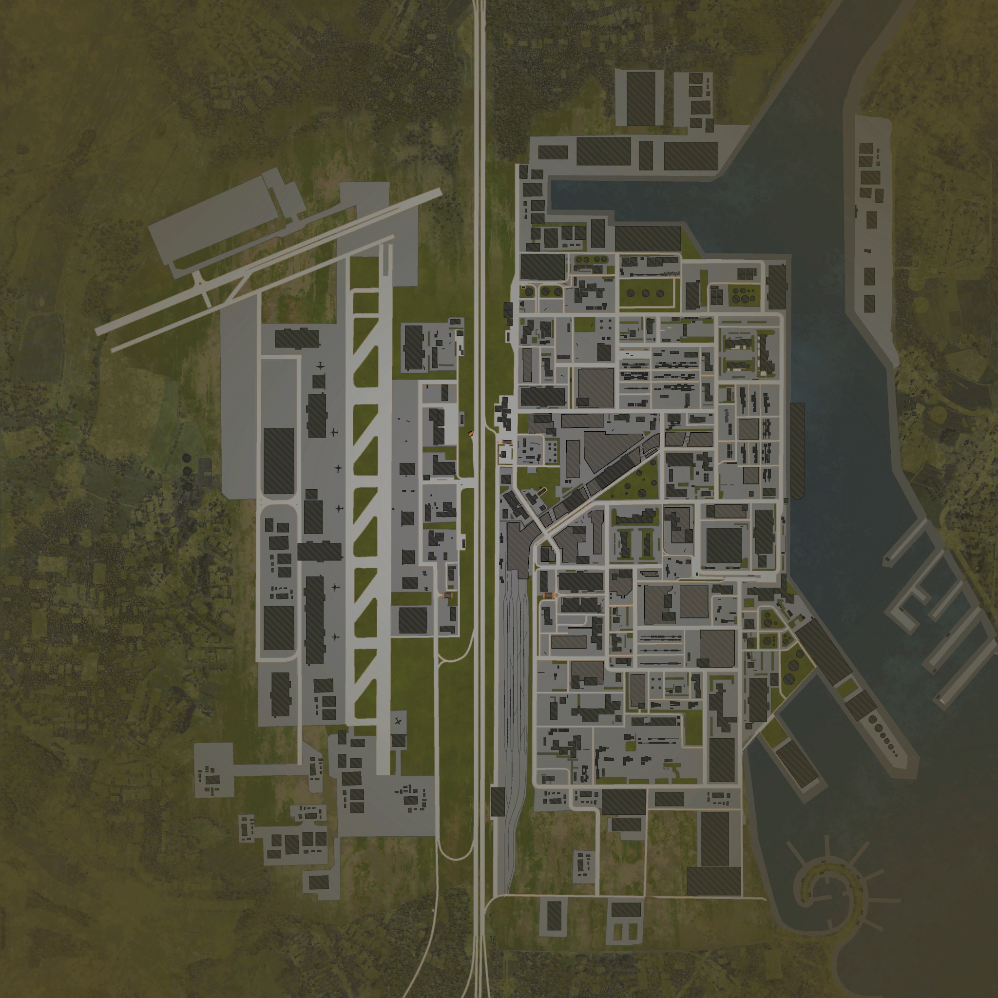
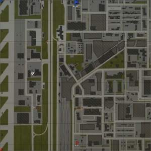
Cargo Port is a ground forces map available in all modes. The map is set in a largo, fictional, cargo port with an attached airport. The map has three distance sections; the main area of the map where most battles take place is the eastern half. This is the main port area with many buildings and stacks of shipping containers, it is also where the map's iconic cargo ship is docked. The next section is a motorway running straight down the centre of the map. Finally in the west of the map there is a large airport, with two runways, one running parallel with the motorway and the other running at an angle in the Northwest of the map.
The east of the map is an expansive cargo port. The area largely consists of a mix of buildings and areas where shipping containers are being stored. Battles in this area are generally fairly close quarters; the containers and gaps between buildings proving many places for players to lie in wait and ambush unsuspecting enemies, or to sneak around other players. There is also room for slightly longer range engagements down the long, straight and largely unobstructed roads. Shipping containers and buildings are placed throughout the cargo port, the south of the port contains more buildings, while the middle and north of the port are more focused on container storage. Starting in the south of the port a series of rail lines run parallel to the motorway, before turning east into a rail yard in the middle of the port.
The motorway runs north - south down the centre of the map. This area is very open, with players able to shoot down the entire length of the map, the only cover is provided by abandoned vehicles. There are two bridges over the motorway, however overturned lorries and discarded containers make them inaccessible to players. The motorway is slightly lower then the cargo port and airport, and separated from each by a row of trees.
The eastern edge of the airport consists largely of administrative buildings with areas of open space acting as car parks or storage areas. It also contains the eastern apron for the north - south runway, this area consists mainly of hangars and large open areas where the aircraft would be loaded, containers and abandoned airport equipment provide very limited cover. Across the runway is the western apron; this area is wide open, with a few hangars and parked aircraft. At the northern end of the runway there is a second runway running west-southwest to east-northeast. The area to the west of the vertical runway, and the area around the northern runway are modeled using lower poly buildings than the rest of the map, suggesting they are not meant to ne played on.
The tank battles map is 4km x 4km, but this area is restricted in battles; see the table below for the exact battle area sizes in each mode. The air battles area is 32 km x 32 km.
| Game Mode | AB | RB | SB |
|---|---|---|---|
| Domination | 1.8 km x 1.8 km | 1.8 km x 1.8 km | 1.8 km x 1.8 km |
| Conquest #1 | 1.8 km x 1.8 km | 1.8 km x 1.8 km | 1.8 km x 1.8 km |
| Conquest #2 | 1.5 km x 1.5 km | 1.5 km x 1.5 km | 1.5 km x 1.5 km |
| Conquest #3 | 1.5 km x 1.5 km | 1.5 km x 1.5 km | 1.5 km x 1.5 km |
| Battle | 1.3 km x 1.3 km | 1.3 km x 1.3 km | 1.3 km x 1.3 km |
Historical Background
This map is a completely fictional location. The cargo ship is a Maersk Triple E-class container ship which first sailed in 2013. The aircraft at the airport appear to be Douglas C-54 Skymasters,
Map configuration
| Change Maps by Game Modes | ||
|---|---|---|
| | ||
At present this map has the same layouts in AB, RB and SB.
Domination
| Domination Mode - Map Layouts |
|---|
|
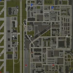
1.8 km x 1.8 km 1.8 km x 1.8 km 1.8 km x 1.8 km |
|
In AB point A is on the eastern edge of the port near the bow of the cargo ship, B is at the radio tower near the rail yard, and C is near some buildings in the east of the airport. In RB point A is on the eastern edge of the port near the bow of the cargo ship, B is at the radio tower near the rail yard, and C is near some buildings in the east of the airport. In SB point A is on the eastern edge of the port near the bow of the cargo ship, B is at the radio tower near the rail yard, and C is near some buildings in the east of the airport. |
Conquest
| Conquest Mode - Map Layouts | ||
|---|---|---|
| Conquest #1 | Conquest #2 | Conquest #3 |
|
1.8 km x 1.8 km 1.8 km x 1.8 km 1.8 km x 1.8 km |
1.5 km x 1.5 km 1.5 km x 1.5 km 1.5 km x 1.5 km |
1.5 km x 1.5 km 1.5 km x 1.5 km 1.5 km x 1.5 km |
|
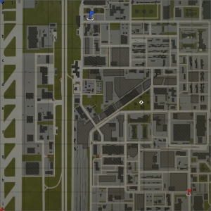
In AB the capture point in an oil storage area near the rail yard, in the middle of the port. In RB the capture point in an oil storage area near the rail yard, in the middle of the port In SB the capture point in an oil storage area near the rail yard, in the middle of the port |
In AB the capture point at the radio tower near the rail yard. In RB the capture point at the radio tower near the rail yard. In SB the capture point at the radio tower near the rail yard. |
In AB the capture point is near some buildings in the east of the airport. In RB the capture point is near some buildings in the east of the airport. In SB the capture point is near some buildings in the east of the airport. |
Battle
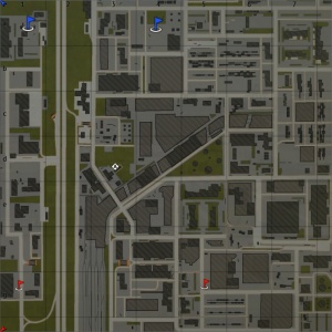
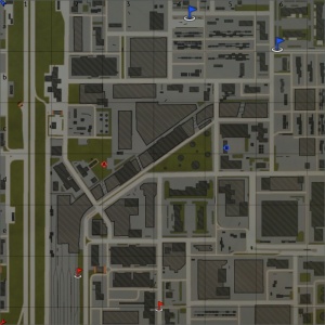
Note: In this layout the northern team get two spawn points, while the southern team only get one.
| Battle Mode - Map Layouts |
|---|
|
1.3 km x 1.3 km 1.3 km x 1.3 km 1.3 km x 1.3 km |
|
In AB the capture points are located at the radio tower near the rail yard, between some buildings near the end of the rail yard. In RB the capture points are located at the radio tower near the rail yard, between some buildings near the end of the rail yard. In SB the capture points are located at the radio tower near the rail yard, between some buildings near the end of the rail yard. |
Strategy
If you're heading to the capture zone near the airfield, there's a small pocket for you to hide your vehicle. The spot perfectly conceals any tank, but requires the surrounding area to be clear of enemies, so that you don't get shot while driving into the spot.
Media
References
See also
Links to the articles on the War Thunder Wiki that you think will be useful for the reader, for example:
- reference to related locations;


